Overblog
Editer l'article Suivre ce blog Administration + Créer mon blog

Chartreuse

carte IGN Top 25 3333 OT

dénivelé 570m

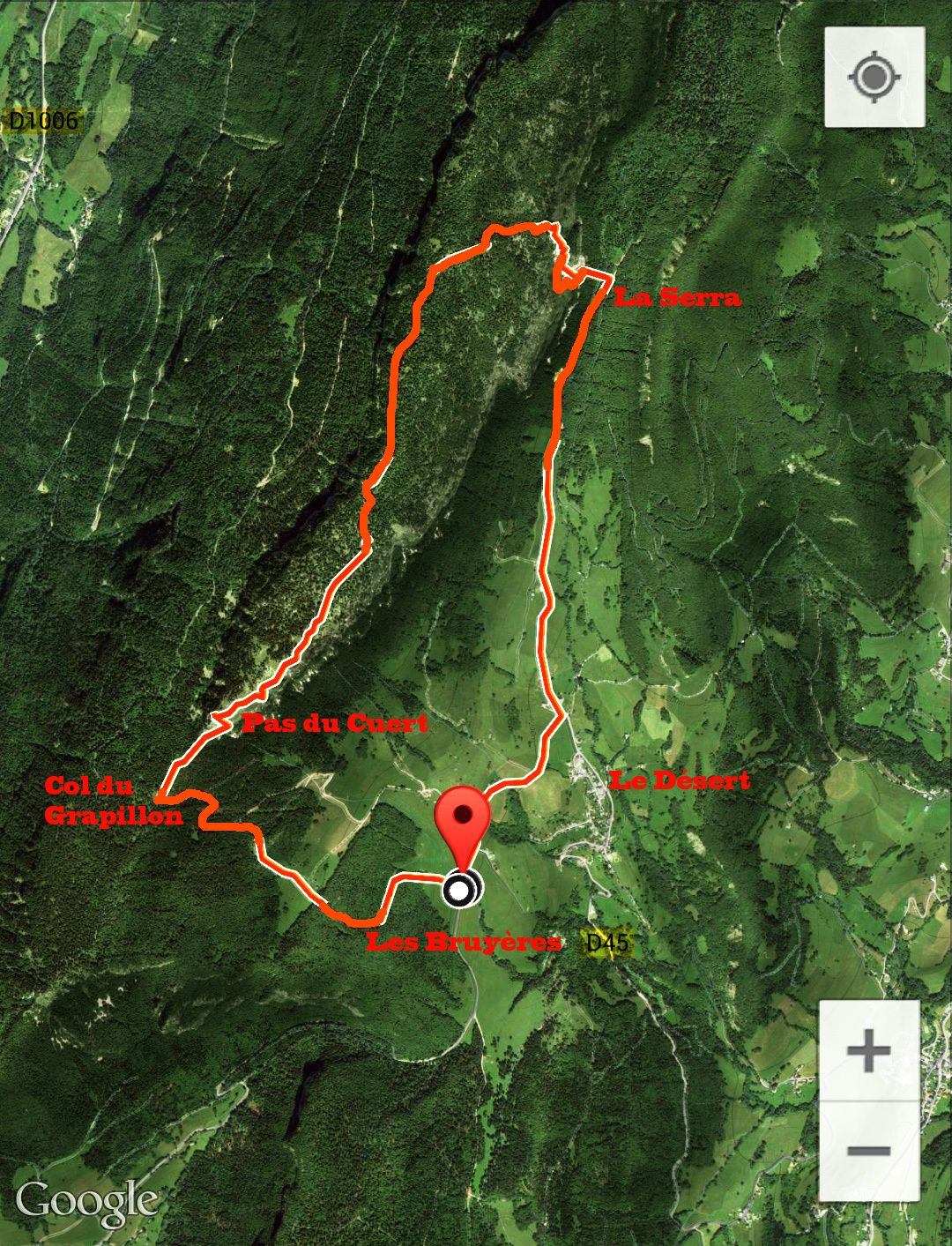
De Chambéry nous montons au col du Granier par la D912.
Passé le col nous descendons jusqu'à Epernay. Dans Epernay,
à droite sur la D45. Nous passons le Desert pour continuer
jusqu'au parking les Bruyères. Le sentier démarre le long du
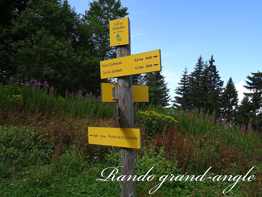
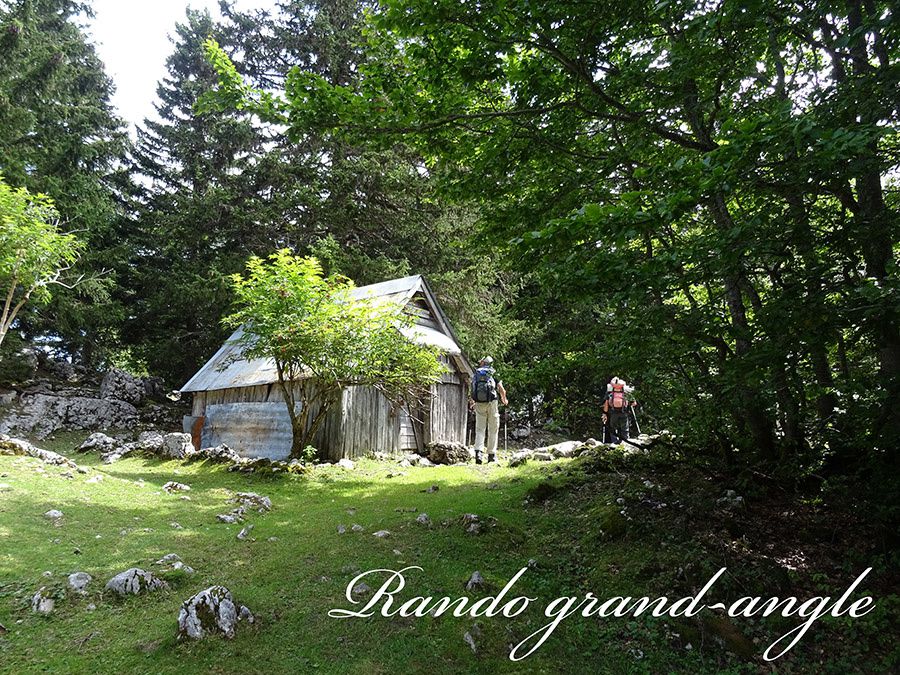
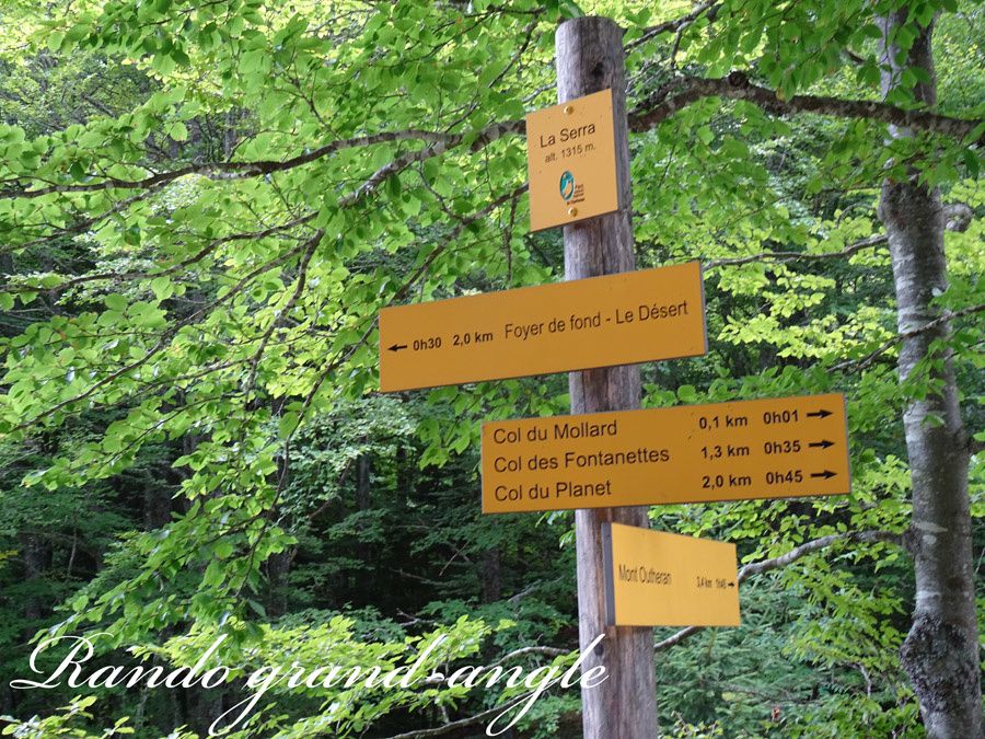
café. Nous montons en forêt vers le col du Grapillon. Au col
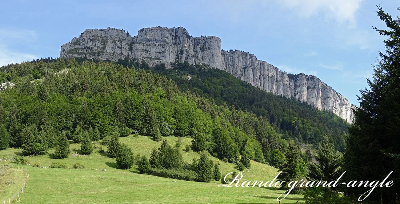
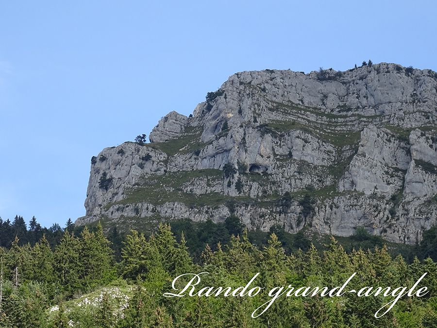
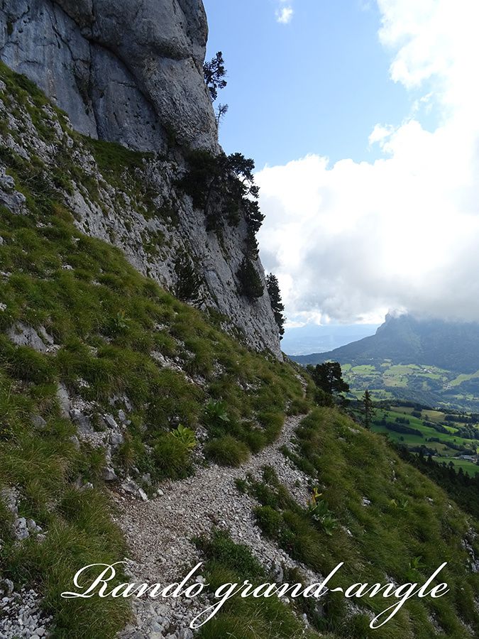
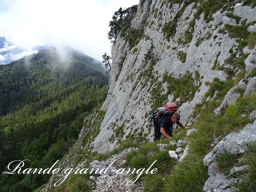
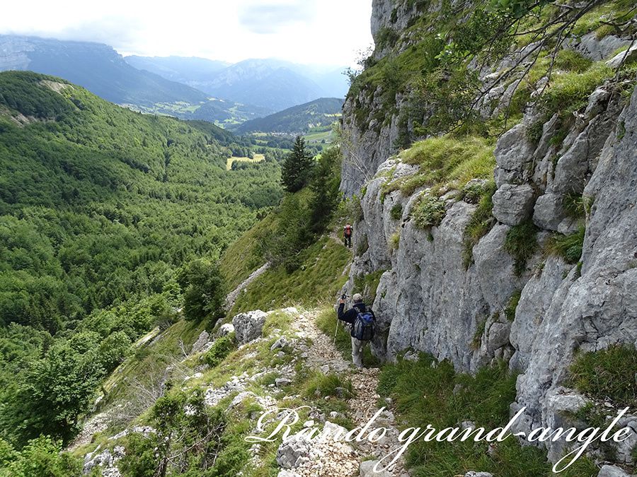
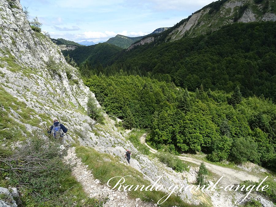
à droite pour atteindre le pied de la paroi sud. Un panneau
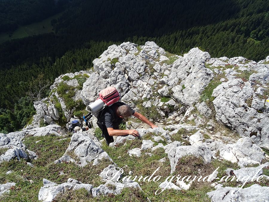
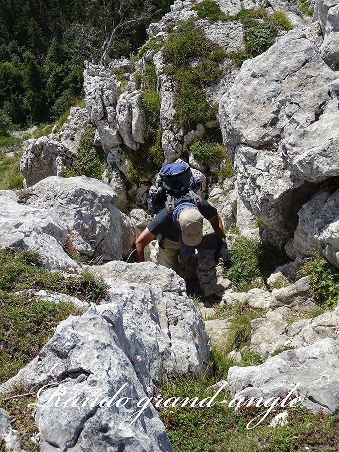
averti du risque de chute. Pour atteindre le plateau il faut
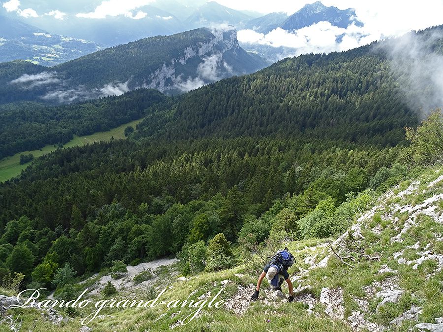
évoluer dans une pente raide, mi-herbeuse, mi-rocheuse
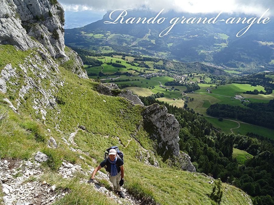
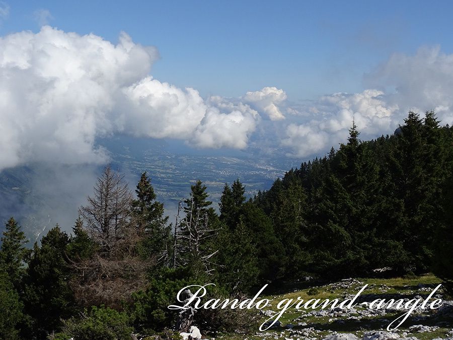
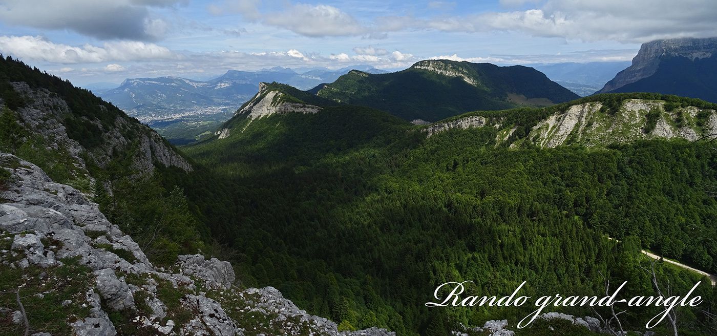
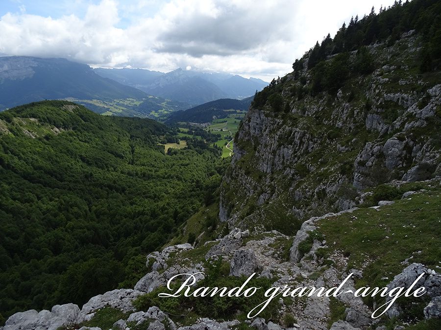
en suivant le marquage jaune. Une fois sur le plateau nous
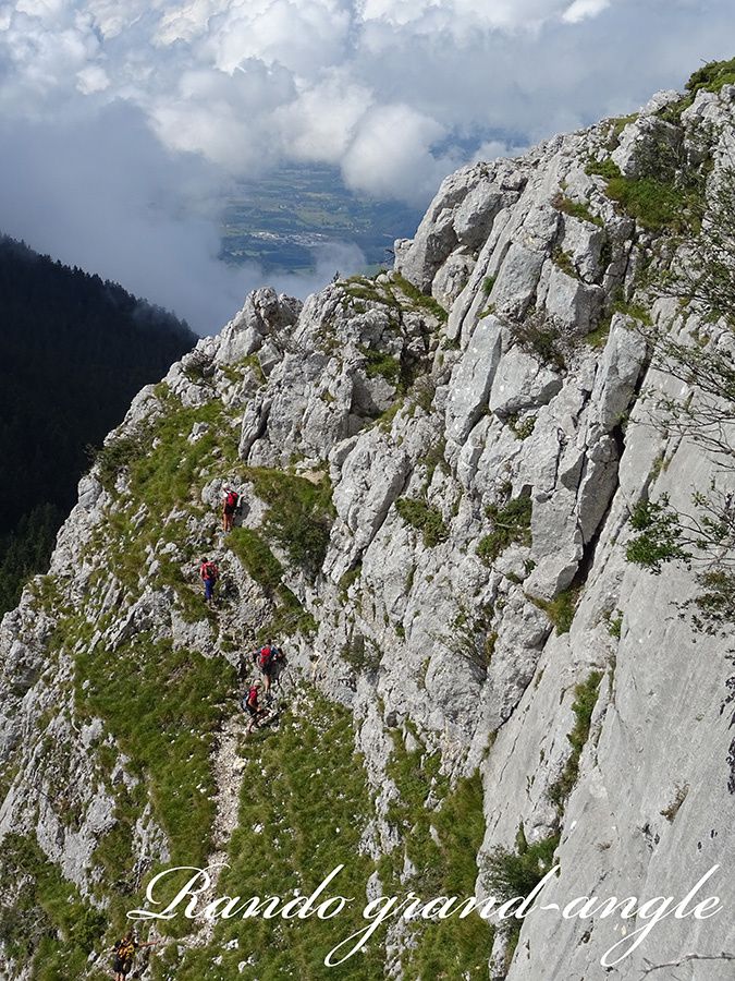
profitons du paysage, ensuite c'est une longue traversée
dans les bois jusqu'au passage nord pour descendre au
col du Mollard. Il y a environ 2 km à faire sur une route
forestière, puis 1 km sur la D45 pour retrouver la voiture
au parking.

Mont Outheran 1676m (24/08/2014)
Tag(s) : #Randonnée
Partager cet article
Repost0
Pour être informé des derniers articles, inscrivez vous :